Arakao
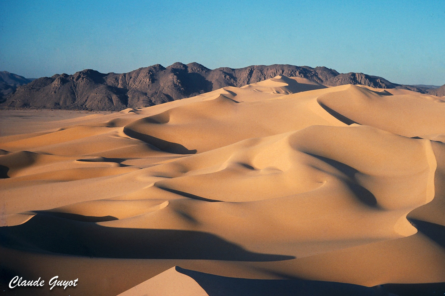
Niger, East of Aïr mountains, in the "Crab's pincer", December 1979
On a satellite image of Niger, the central rocky area, located east of Arlit city can be easily identified: the Aïr mountains.
Within this domain, several large scale geological formations can be seen, supported by a circular shape.
Among them, along the eastern tip of this massive mountainous area, at the limit of Ténéré sandy desert, a strange feature draws the attention.
It forms an isolated ring, which north-eastern side, collapsed and eroded, let the overall natural form look like a crab's pincer.
From the Ténéré, a massive sand dune, blown towards south west, has entered in this "pincer", blocked by the heights of the Aïr, creating a beautiful landscape.
Shot: Kodakrome slide, Camera Voigtländer-Zeiss 24/36mm of my Father - low density scan of the damaged original slide.


